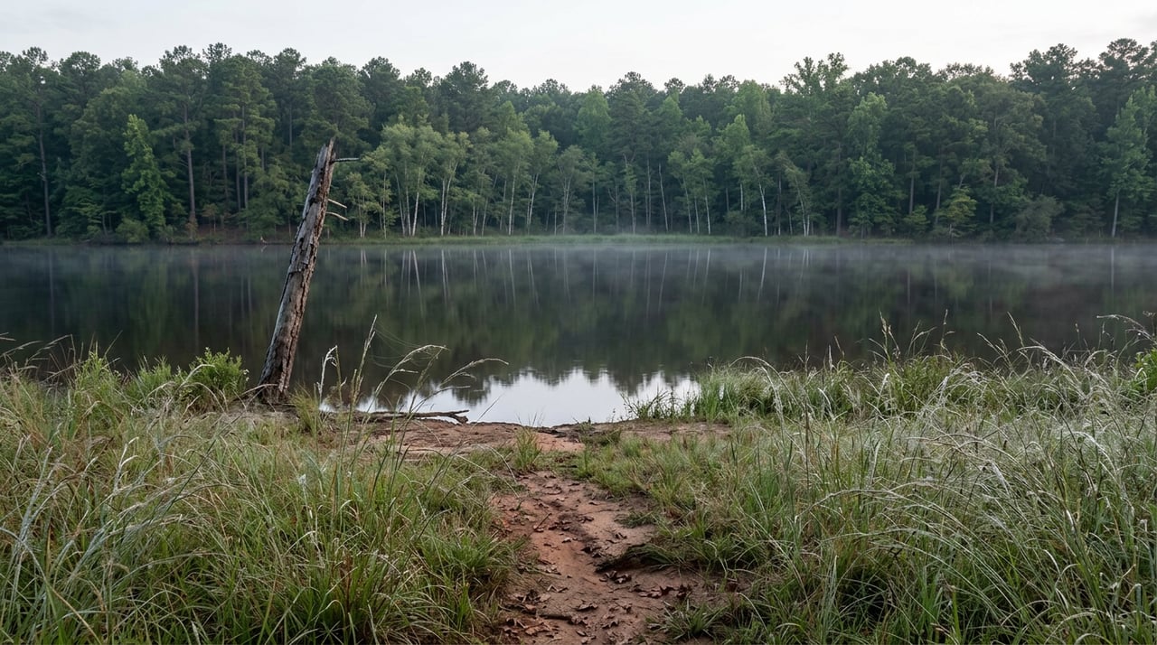
A buyer called about a tract listed with 8,565 feet of Lake Russell frontage, more shoreline than most subdivisions see in a lifetime. The first question wasn't about acreage or timber. It was about the dock. Where would it go, and how many slips could the property support.
According to Wikipedia's account of Richard B. Russell Lake, the answer was none: not a small dock, not a floating platform, not a cleared path to the water. On Richard B. Russell Lake, that stretch of shoreline belongs to the U.S. Army Corps of Engineers.
That single fact should change how anyone reads a Lake Russell listing in Elbert County, and the current comps show it already has.
Three Lakes, One River, Two Rulebooks
The Savannah River carries three reservoirs along the Georgia and South Carolina line: Thurmond, finished in 1954, Hartwell, finished in 1962, and Russell, filled between 1983 and 1984. Thurmond and Hartwell predate a federal policy shift, so their shorelines developed the way most Georgia lake property does, with private lots and homes built close to the water.
Russell came later. Because construction began after 1974, the Corps of Engineers built the project under rules that prohibit exclusive private use of the shoreline. The Corps owns a 300-foot buffer around the entire 540 miles of shoreline, and that buffer is not available for private docks, private clearing, or private anything. Even a mowed path from a property line down to the waterline crosses land the Corps still controls.
Locals who have owned near the lake for years describe rangers taking that line seriously. A discussion on the GON Forum says that clearing a walking trail to the water's edge on Corps land without permission can draw a warning. The lake looks the same as Hartwell or Thurmond from a drone shot. The rulebook underneath it is not.
Here is the comparison that matters when you're pricing a tract:
| Lake | Filled | Shoreline development |
|---|---|---|
| J. Strom Thurmond (Clarks Hill) | 1954 | Extensive, private lots common |
| Hartwell | 1962 | Extensive, private lots common |
| Richard B. Russell | 1983-84 | Corps-owned 300-ft buffer, largely undeveloped |
What the County's Own Comps Say
Statewide, waterfront acreage on lakes and rivers is generally understood to carry a real premium over comparable dry land, often cited in the range of 100 to 300 percent, because a private dock and clear lake access are two of the most valuable features a rural buyer can add to a tract. If that rule applied cleanly to Lake Russell, frontage tracts in Elbert County should be trading well above the county's baseline.
They aren't.
Elbert County's own land market this fall shows undeveloped acreage running roughly $6,400 to $7,000 per acre on average. Now look at what large tracts with genuine Corps frontage are actually asking. A 366-acre tract in north Elbert County with 4,000 feet of Corps frontage on Lake Russell is priced at just over $3,400 per acre. An 84-acre tract with 2,600 feet of Corps frontage on Beaverdam Creek, which feeds the lake, prices out to roughly $3,450 per acre. Both sit meaningfully below the county's own baseline for land with no water feature at all, let alone above it.
Smaller parcels tell the same story from a different angle. A 6-acre wooded lot inside a gated lake community half a mile from Lake Russell is listed at roughly $7,475 per acre. A comparable 13-acre tract with no lake access, sitting across from the Elberton Country Club, is listed at roughly $7,752 per acre. The lake-adjacent lot isn't commanding a premium over the dry tract next to a golf course. It's priced almost identically, and slightly lower.
None of this means Lake Russell frontage is worthless. It means the premium buyers pay for it isn't the dock-and-beach premium that drives waterfront pricing everywhere else in the state. It's a privacy and view premium, and it behaves differently in the comps because it is a different product.
Where the Real Premium Shows Up
Developers working near Lake Russell figured this out early. Since individual docks are off the table, several gated communities near the lake, including ones off Anderson Highway and along Coldwater Creek, built shared infrastructure instead: paved private roads, community water systems, and a shared boat storage facility.
That's the actual premium on Lake Russell property. Buyers pay more for organized access to get a boat in the water, not for the linear footage of frontage itself. A tract with 4,000 feet of Corps buffer and no organized access plan can price like plain timberland, while a smaller lot in a gated community with a marina slip and paved roads prices closer to, or even above, the county average.
How to Price a Corps-Frontage Tract
Anyone comparing Lake Russell tracts in Elbert County should treat "frontage" as a description of the view and the buffer line, not a synonym for private waterfront. A few steps make the difference between an accurate offer and a costly assumption:
- Pull the actual Corps boundary survey for the parcel rather than relying on the marketing description of footage. The deeded line and the buffer line are not the same thing, and the usable yard between them can be small.
- Ask directly whether the property has any organized access to the water, such as a community marina slip, a boat ramp easement, or a documented right to beach a boat.
- Compare the tract to other inland acreage of similar size and timber composition in the county before assuming a waterfront multiplier applies. The comps above suggest large frontage tracts often price closer to timberland than to lakefront.
- If the tract sits inside a gated community, read the covenants for what's actually promised, since a boat slip, paved road, or community water system is where the real value tends to concentrate.
- Confirm with the Corps of Engineers directly on any question involving clearing, grading, or structures within the buffer, since local practice on enforcement can vary by area of the lake.
FAQ
Will the Corps ever allow private docks on Lake Russell? There's no indication of that changing. The lake was built under the post-1974 shoreline policy specifically to keep the shoreline undeveloped, and it has held that way for four decades.
Does this same restriction apply to Lake Hartwell or Clarks Hill property nearby? No. Both of those lakes were built before the rule took effect and have long-established private shoreline development, which is why comps from those lakes shouldn't be used to price Lake Russell acreage.
How do I know exactly how much of my frontage is Corps buffer versus my own deeded land? A current boundary survey tied to the Corps' recorded buffer line is the only reliable answer. Marketing descriptions round generously, and the buffer itself is measured from the lake's normal pool elevation, not from where the water happens to sit on the day you visit.
Frontage numbers make a listing look impressive. On Lake Russell, the number that actually matters is how much of that frontage lies within the Corps-owned buffer. If you're comparing a Corps-frontage tract in Elbert County against something on Hartwell or Thurmond, or you just want the boundary survey and covenant details pulled before you make an offer, Phil Wilson at GA.LAND puts together a full property packet for exactly this kind of comparison. Request the Property Packet before you price the frontage like it's a dock.
This article is general information, not legal, tax or financial advice. Consult a qualified professional about your situation.