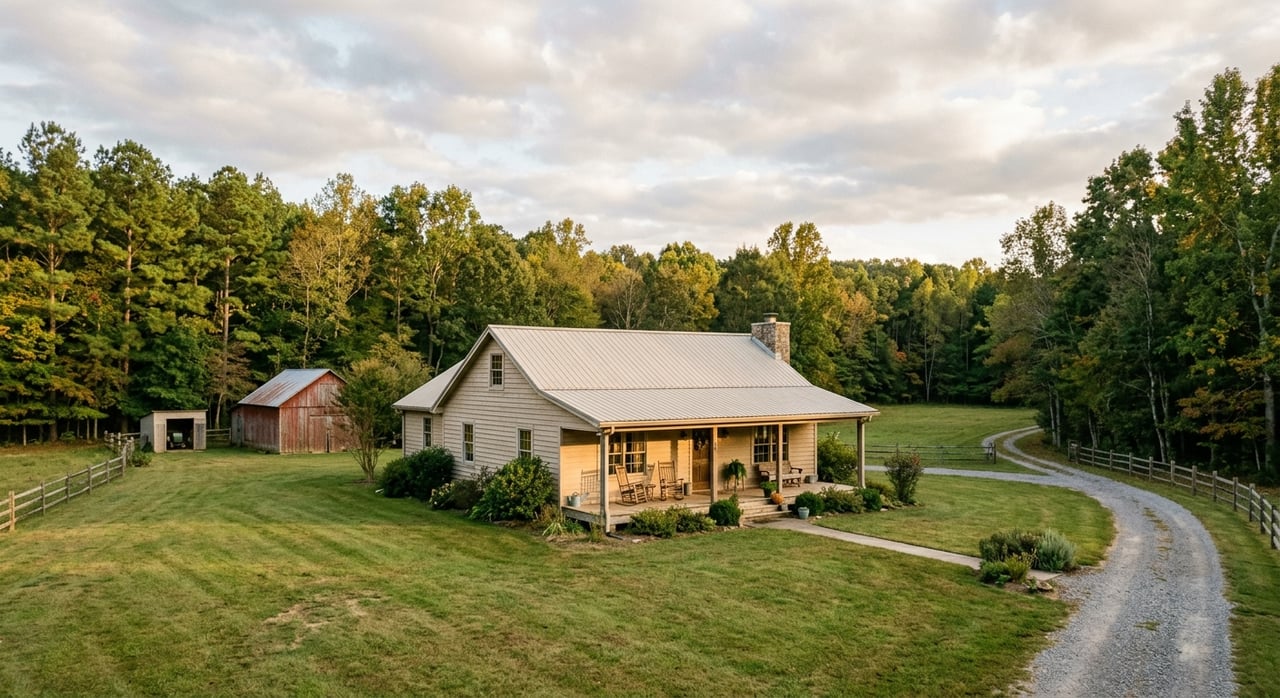
Buying acreage in Taliaferro County is exciting, but guessing where the lines run or what the land can support can turn a great deal into a headache. You want clear answers about boundaries, access, and buildability before you close. In this guide, you will learn which survey you need, how the process works locally, what problems surveys reveal, and how to time and budget your order. Let’s dive in.
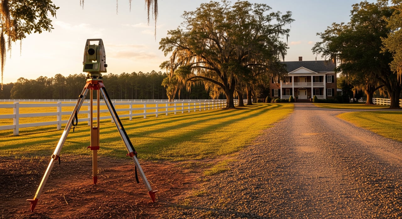
Survey basics in Taliaferro County
Boundary survey – what you get
A boundary survey confirms the legal limits of the property. You receive a certified, stamped drawing that shows property lines, corners found or set, parcel dimensions and area, plus how visible features like fences or driveways relate to the boundary. Surveyors also map recorded easements and rights of way that appear in local records. This is the primary survey to verify acreage, spot overlaps, and find encroachments.
Topographic survey – when you need one
A topographic survey maps the land’s elevations and contours. It shows streams, drainage, trees, observed wetlands, utilities that are visible, and spot elevations used for planning. Order topo when you need to evaluate build sites, driveway grades, drainage, septic feasibility, or road and pad layout. Many buyers ask for a combined boundary and topo to cover both legal limits and site design.
ALTA/NSPS survey – lender driven choice
An ALTA/NSPS Land Title Survey follows national standards that lenders and title companies often require for larger or financed purchases. It combines boundary and visible improvements with a review of the title commitment so recorded easements and exceptions are shown. If you want certain title insurance endorsements, expect an ALTA requirement and allow extra time for title documents to reach the surveyor.
Other survey types you may hear about
- Improvement Location Certificate or mortgage inspection – a simpler, lower cost sketch of improvement locations that is not a substitute for a full boundary survey on acreage.
- Subdivision or plat survey – used to record a new plat for splits, easements, or other recorded changes at the Clerk of Superior Court.
What surveys do not usually show: underground utilities unless located, unrecorded private agreements, or federally regulated wetlands without separate environmental review. Ask your surveyor about optional utility locates and whether you need a wetland delineation.
How the survey process works locally
Step by step from order to delivery
- Choose a Georgia licensed Professional Land Surveyor with rural acreage experience. Local knowledge in Taliaferro and neighboring counties helps.
- Provide documents early: current deed, any prior deeds and plats, parcel ID and tax map, purchase contract, and title commitment if an ALTA is requested.
- The surveyor researches records at the Taliaferro County Clerk of Superior Court and may check nearby counties if the chain of title crosses county lines.
- Fieldwork begins: the crew locates monuments, measures lines, sets or restores corners, notes visible improvements, and collects topo data if requested.
- Optional utility locate: coordinate with Georgia 811 or a private locator before fieldwork if underground utilities are a concern.
- Drafting and quality control: the surveyor prepares a certified drawing with notes on found versus set monuments, easements, and encroachments.
- Delivery: you receive a stamped survey. If recording a plat is part of your plan, the surveyor can prepare a recordable plat for the Clerk of Superior Court.
Records and offices your surveyor checks
- Taliaferro County Clerk of Superior Court – recorded deeds, plats, and easements.
- Taliaferro County Tax Assessor – parcel maps, assessed acreage, parcel IDs.
- County road department or county commission – status of private versus public roads and access questions.
- Georgia Department of Transportation – state route right of way and access permit needs.
- For site feasibility: county health department for septic rules; FEMA flood mapping and NRCS soils data to flag risks.
Expect that some rural corners lack intact monuments. Surveyors use deed calls, prior plats, fence lines, witness trees, and other physical evidence, then set new monuments as needed under Georgia standards.
Timing you can expect
- Basic boundary on small, accessible parcels – about 1 to 3 weeks.
- Larger acreage, heavy timber, difficult access, or topo work – roughly 2 to 6 weeks or longer.
- ALTA/NSPS with title review – schedule depends on how fast the title commitment and lender requirements arrive.
Order your survey as soon as the contract is signed so you have results before your due diligence period ends.
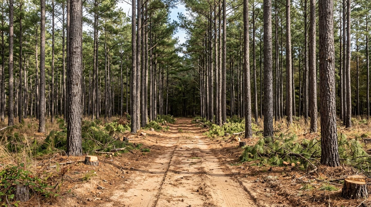
Rural risks a survey can uncover
Acreage mismatches
Tax maps often differ from deed acreage. A boundary survey confirms the legal acreage and reveals overlaps or gaps that may reduce usable land. Use the result to align the contract, title, and expectations before closing.
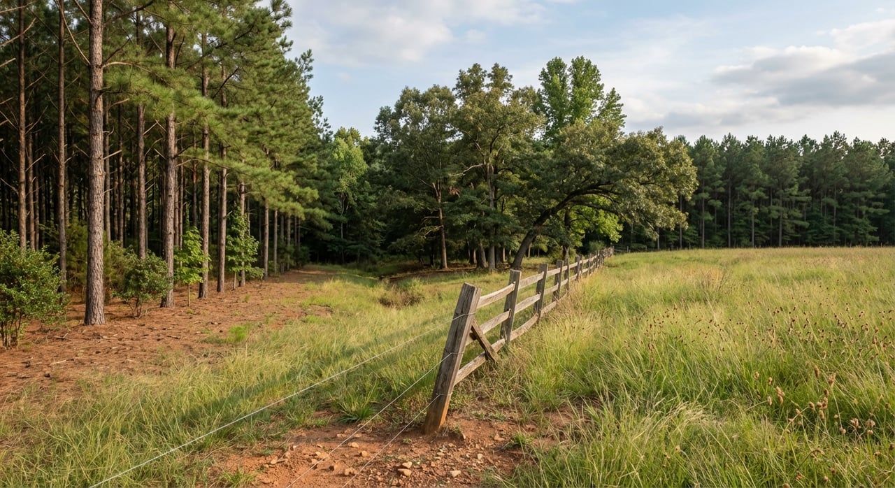
Access and easements
Many rural tracts rely on private roads or easements. A survey identifies recorded access, public road frontage, and the location of rights of way. If access is not recorded, you can require the seller to secure a recorded easement before you proceed.
Encroachments and boundary use
Fences, driveways, barns, or sheds sometimes cross the line. Surveys document encroachments so you can negotiate removal, price adjustments, easements, or title coverage. Early clarity avoids neighbor disputes later.
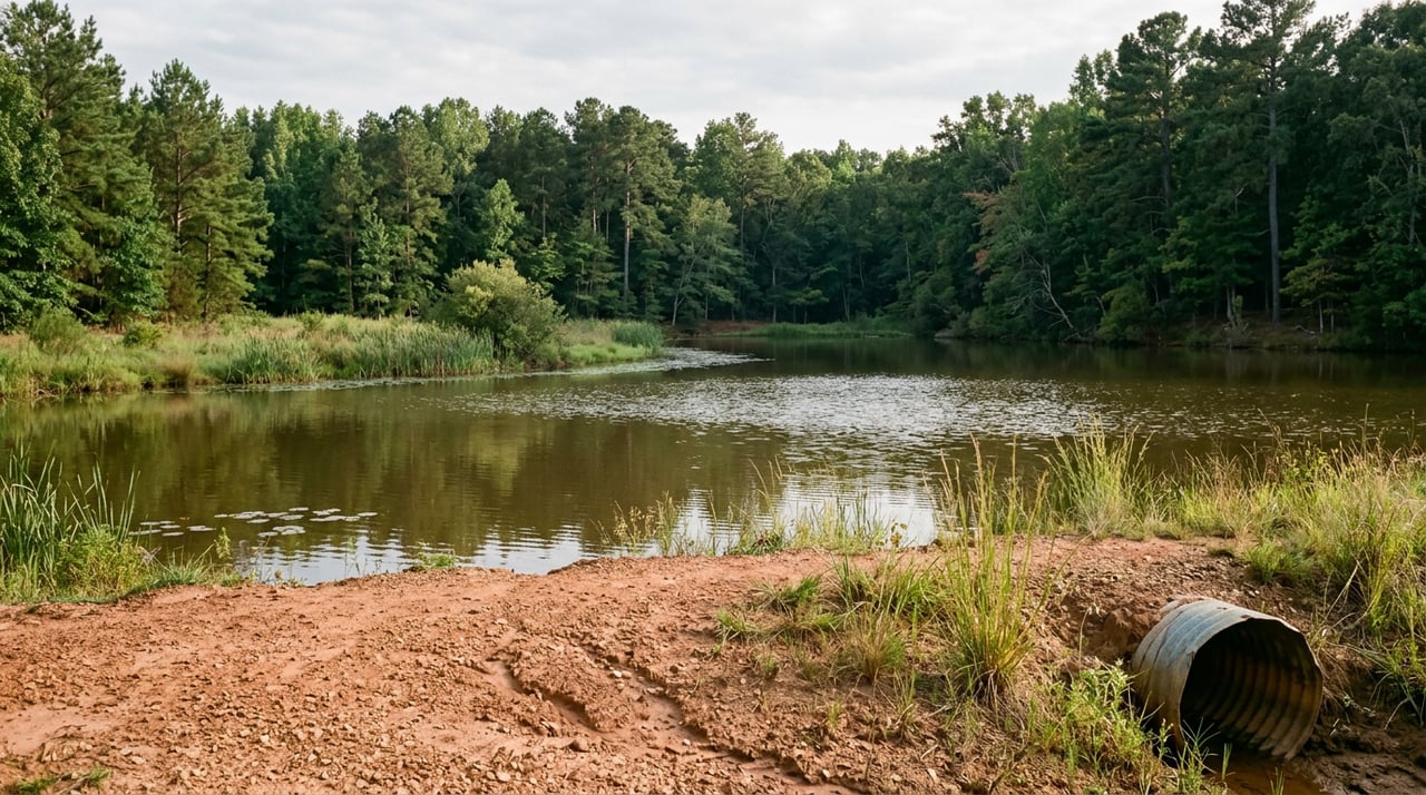
Buildability, slopes, and water
Steep slopes, drainages, and wet areas limit how and where you build or place a camp. Topo mapping shows elevations, drainage paths, and approximate buildable zones. Pair the topo with county health department guidance on septic siting to confirm feasibility.
Floodplain and FEMA maps
Parts of a property can lie in FEMA flood zones. A topo survey can show elevations and floodplain boundaries relative to the site. Use FEMA maps alongside the survey to verify flood insurance needs and structure placement.
Rights and maintenance notes
Separate instruments can reserve timber, mineral, or hunting rights. Title review is needed to find recorded reservations that run with the land. For roads, a survey shows location and width, but maintenance obligations come from recorded agreements or covenants, not the drawing itself.
Examples of survey-driven outcomes:
- A driveway crosses a neighbor’s land without recorded rights – you negotiate a recorded easement or require the seller to cure.
- A barn encroaches across the line – you request removal, an easement, or title coverage.
- Topo shows steep slopes where you planned a camp – you adjust the plan, renegotiate, or cancel if allowed by your contract.
Costs, timing, and what to ask
Typical cost ranges in rural Georgia
- Basic boundary survey, 1 to 10 acres – typically a few hundred to low thousands of dollars.
- Larger acreage – low thousands to several thousand dollars depending on size, terrain, timber, and access.
- Topographic add-on – several hundred to a few thousand dollars depending on area and contour detail.
- ALTA/NSPS – more than a basic boundary due to title research and added detail.
Pricing varies by scope and site conditions. Get multiple written quotes from Georgia licensed surveyors and compare deliverables.
Buyer checklist before you order
- Confirm if your lender or title company requires an ALTA/NSPS survey.
- Gather and send: current deed, parcel ID and tax map, purchase contract and closing date, any prior surveys or plats, and the title commitment if applicable.
- Ask the surveyor:
- Will you set or restore all corners and note found versus set monuments.
- Will you coordinate Georgia 811 utility locates if needed.
- What is the turnaround time and cost, including topo if requested.
- What deliverables are included – stamped paper copy, digital files, and whether a recordable plat is part of the scope.
- Review the final survey for clear notes on monuments, observed encroachments, easements, and any discrepancies.
If the survey finds a problem
Work with your agent and, if engaged, your attorney to decide next steps:
- Ask the seller to cure – remove the encroachment, obtain a recorded easement, or correct the deed.
- Renegotiate price or request a credit.
- Seek clear title or additional title insurance coverage where available.
- If the contract allows and the issue is unacceptable, walk away before contingencies expire.
Who to hire in Georgia
Choosing the right surveyor
Select a Georgia licensed Professional Land Surveyor who works rural acreage. Experience in Taliaferro County or nearby counties is a plus. Ask for references, sample deliverables, and confirmation that they handle both boundary and topo if you need a combined product. Confirm they are familiar with ALTA/NSPS standards if lender or title requirements apply.
When to add topo, engineers, or ALTA
- Add topo if you plan to build, install a driveway, manage drainage, or evaluate septic siting.
- Ask the surveyor whether they coordinate with civil engineers, septic designers, or site planners for a smooth design process.
- If you are financing or seeking specific title endorsements, plan for an ALTA/NSPS survey and share the title commitment early.
Local data sources to know
- Taliaferro County Clerk of Superior Court – recorded deeds, plats, easements, and any plats to be recorded.
- Taliaferro County Tax Assessor – parcel maps and assessed acreage for cross-checking against the deed.
- Taliaferro County Road Department or County Commission – access status for roads and maintenance questions.
- County health department or environmental health office – septic permitting rules and soil requirements.
- Georgia Department of Transportation – state right of way and access permits for state routes.
- FEMA Flood Map Service Center – floodplain panel information to review alongside topo.
- USDA NRCS Web Soil Survey – soils and limitations that affect septic, agriculture, and building.
- U.S. Fish and Wildlife Service National Wetlands Inventory – indicators of potential wetland areas that may need delineation.
- Georgia Board for Professional Engineers and Land Surveyors – license verification for surveyors.
A good survey, paired with a clear title review, removes guesswork. It protects your budget, clarifies access, and confirms the usable acres you are buying. If you are weighing boundary versus topo, or need help lining up the right professionals and due diligence steps, reach out. The team at United Country Real Estate | Southern Select Properties can help you choose the right survey scope and coordinate timing so you close with confidence.
FAQs
What is a boundary survey for Taliaferro County land?
- A certified map of legal property lines, corners found or set, parcel dimensions, area, and the relationship of visible features and recorded easements to the boundary.
How long do Taliaferro County land surveys take?
- Simple boundary surveys often take 1 to 3 weeks. Larger tracts, heavy timber, topo work, or ALTA requirements can extend timing to 2 to 6 weeks or more.
Do I need an ALTA/NSPS survey for rural Georgia acreage?
- You may if you are financing or seeking title endorsements. ALTA adds standardized detail and maps recorded title exceptions shown in a title commitment.
What will a topo survey show on hunting or recreational land?
- Elevations, contours, streams, observed wetlands, drainage, visible utilities, and spot elevations that guide road placement, camp or cabin siting, and septic planning.
How does a survey help with private road access in Taliaferro County?
- It identifies public frontage and maps recorded easements. If access is not recorded, you can require the seller to secure a recorded easement before closing.
When should I order a survey during due diligence?
- Immediately after the contract is signed so results arrive before contingencies expire, especially if access, easements, or buildability are uncertain.